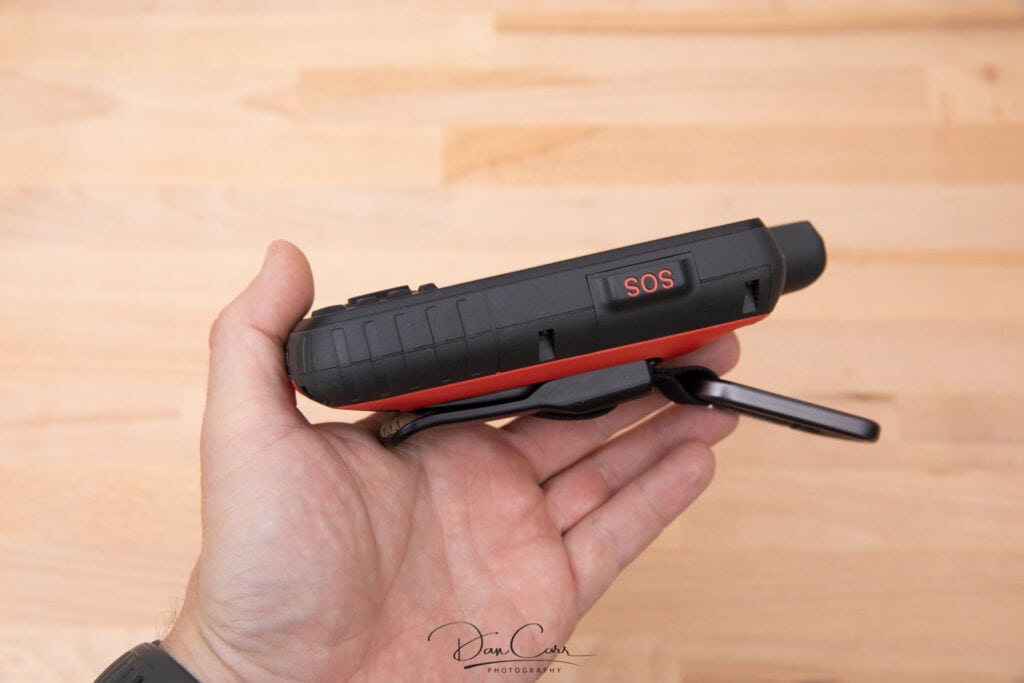
For many years I have carried an InReach satellite messaging device in my camera bag because I often find myself in areas with no cell phone service. An InReach lets me stay in contact with my partner back home so that she knows exactly where I am (using GPS coordinates that are sent with each message), and it also allows me to call emergency services to my location if I should have an accident.
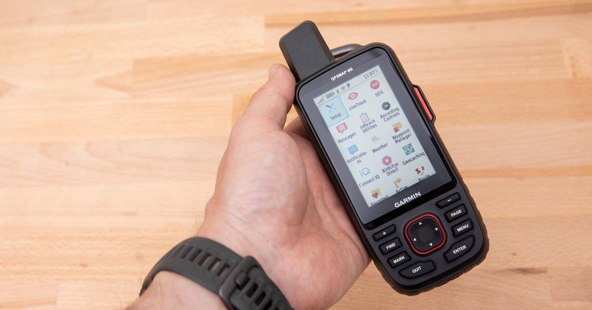
I was previously using the excellent and ridiculously compact InReach Mini, but I just upgraded to the new Garmin GPSMAP 66i. The 66i is the same as Garmin’s GPSMAP 66st, but it also has the features of an InReach built right into in. This is a device I have been waiting for ever since Garmin acquired the InReach brand from Delorme about 4 years ago. Finally the best of both devices is combined into one!
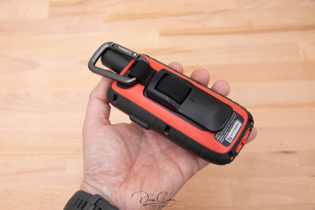
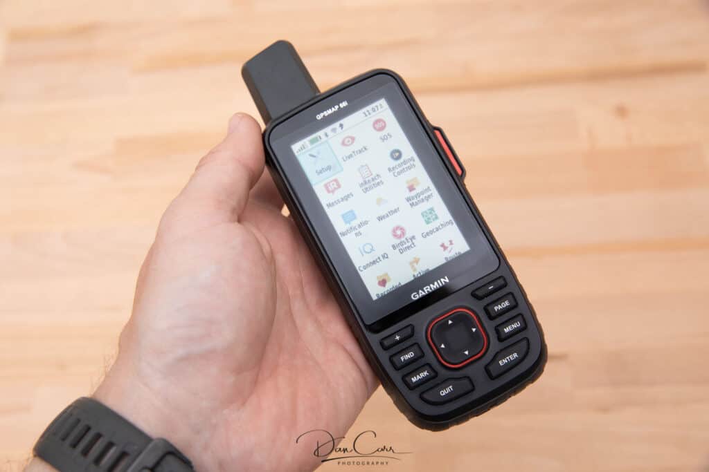
The 66i hit the market just before I set off on a huge road trip up through the Canadian Yukon, into the Arctic Circle and the Northwest Territories and all the way on to the Arctic Ocean. Along the way I would be stopping off to hike some famous trails and all told, I’d be looking at about two weeks without cell service while I traversed some famously inhospitable sections of road.
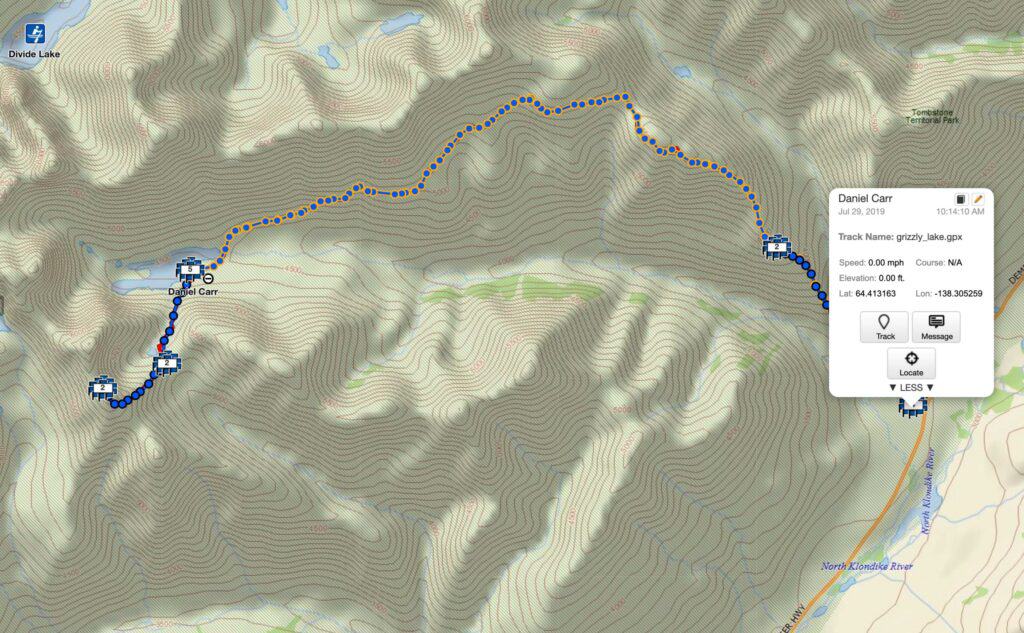
With that in mind, it seemed like a good idea to pick up the new 66i because I knew I would be able to make great use of the GPS mapping capabilities on these rugged roads, as well as the messaging service that I had been previously using with my InReach Mini.
While it seemed like the perfect time for me to make the switch from the Mini to the 66i, that’s not to say it’s a better choice for you. The InReach Mini is still a phenomenal device, but for me I know that my time in the North will be helped by the detailed offline mapping in the 66i.
If you don’t feel like you need the GPS mapping in the 66i, check out my InReach Mini review here.
How can a photographer make use of InReach devices?
Having any of Garmin’s InReach devices with me gives me added confidence to safely explore further away from the beaten path, and these sort of off-the-grid areas are so often where I create my best images. Without an InReach to communicate my current location to my partner back home, or to call emergency services should something go wrong, I’m sure it would stifle some of my exploration. In this regard, I feel like these devices give me more freedom to explore and to create photos in places that aren’t so easily accessible to others. In an age where Instagram has turned some areas of the world into a total photographic disaster, it is becoming more and more necessary to push further afield in search of something unique.
The second thing that I do with Garmin devices is to make heavy use of the waypoint marking feature to create map layers on my Garmin devices and the online Garmin mapping portal. One collection of waypoints contains all my wildlife sightings, while another contains potential landscape photography opportunities and notes about those locations.
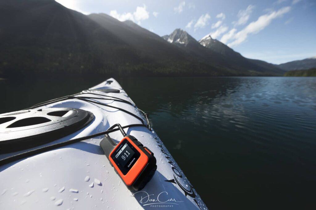
Particularly with the wildlife sightings, over time it builds up a map that shows likely hotspots for viewing certain species, and if I spot something interesting on one of my drives through the vast Canadian wilderness, it reminds me to keep a close eye on the same spot next time I pass through.
With the GPSMAP 66i you also have all of the route finding capabilities and navigational aides that you would expect from a top-of-the-line GPS device. This will get me safely out into the mountains using readily downloadable route files from the internet, and hopefully I’ll find some great photo opportunities out there while I’m on the trail.

